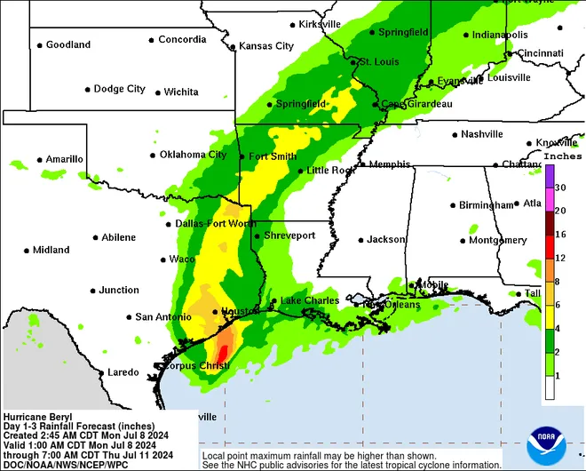
Little Rock, AR – The remnants of Hurricane Beryl have brought unprecedented rainfall to Arkansas, breaking multiple records across the state on Monday and Tuesday. Initially making landfall in Texas as a Category 1 hurricane, Beryl weakened to a tropical depression but still packed a powerful punch as it moved through Arkansas, bringing heavy rains and prompting tornado warnings from Texas to Indiana.
Monday’s Record-Breaking Rainfall
On Monday, several locations in Arkansas experienced record-breaking rainfall:
- Jacksonville/Little Rock Air Force Base: 0.77 inches, surpassing the previous record of 0.72 inches set in 2004.
- Hot Springs: 2.93 inches, beating the previous record of 1.59 inches from 2004.
- Little Rock: 2.56 inches, eclipsing the former record of 1.74 inches set in 1956.
Tuesday’s Continued Deluge
The heavy rains continued into Tuesday, particularly affecting northern Arkansas:
- Batesville: 4.51 inches, breaking the previous record of 2.42 inches set in 2021.
- Harrison: 2.33 inches, surpassing the old record of 1.72 inches from 1905.
Broader Impact of Hurricane Beryl
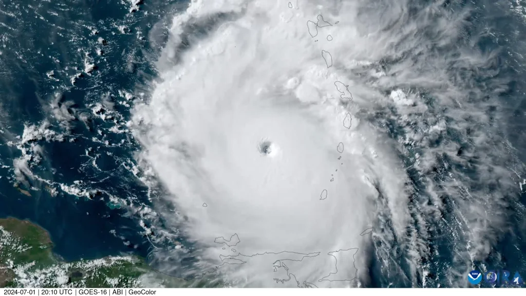
Hurricane Beryl, notable for being the earliest Category 5 storm on record, caused significant destruction in the Caribbean before making its way to the United States. It made landfall on Carriacou Island as a Category 4 hurricane with winds of 150 mph, leading to widespread devastation. The storm’s intensity and early formation are attributed to record-high sea surface temperatures, a byproduct of climate change, which has made extreme weather events more likely and severe.
Tornado Warnings and Safety Measures
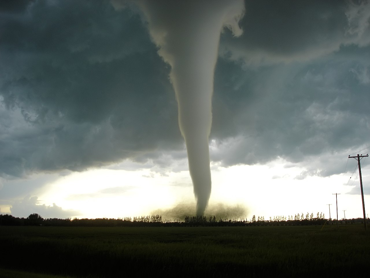
In addition to the heavy rainfall, numerous tornado warnings were issued across the region. Authorities have urged residents to stay alert and prepared for potential severe weather, emphasizing the importance of having an emergency plan and staying informed through reliable sources.

